Large parts of Queensland are set for a week of scattered showers, gusty winds and warmer-than-usual overnight temperatures, as unsettled weather moves across the state. While rainfall totals are not expected to be particularly heavy, some western regions could receive more than double their typical May rainfall, with forecasters describing the conditions as unseasonable for this time of year.
Queensland Braces for Week of Showers, Gusty Winds and Warmer Nights
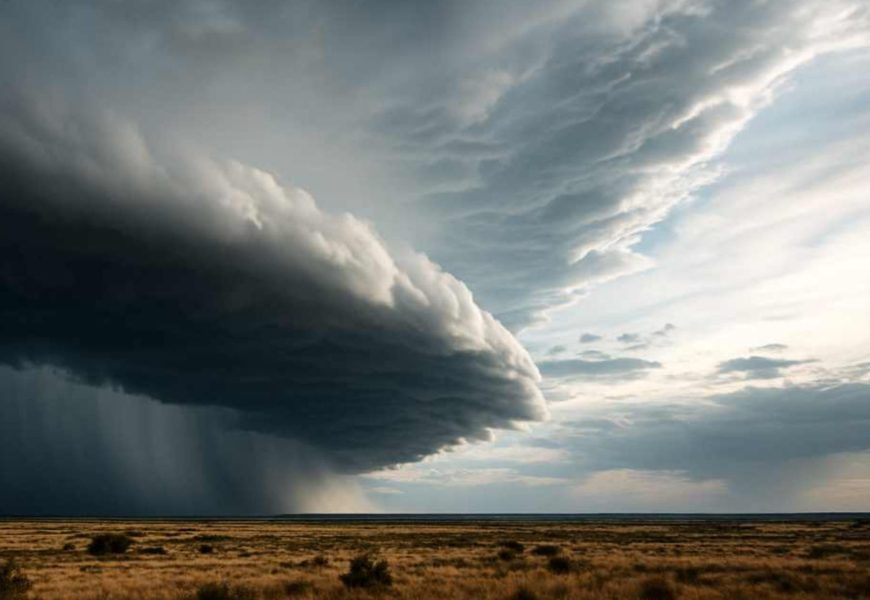
Large parts of Queensland are set for a week of scattered showers, gusty winds and warmer-than-usual overnight temperatures, as unsettled weather moves across the state.
While rainfall totals are not expected to be particularly heavy, some western regions could receive more than double their typical May rainfall, with forecasters describing the conditions as unseasonable for this time of year.
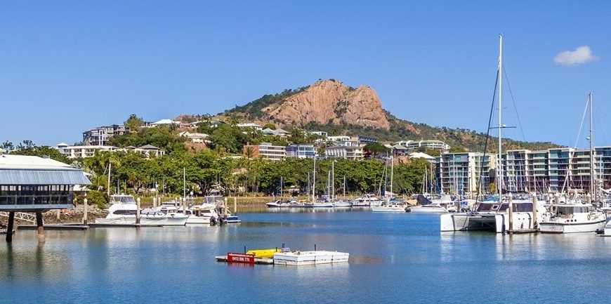
Strong wind warnings have also been issued for waters across the Gulf of Carpentaria, Cape York and the Torres Strait, extending south along the coast towards Mackay.
The incoming weather system marks a sharp contrast to the chilly autumn conditions experienced late last week, when parts of the Granite Belt recorded their coldest morning temperatures of the year, including sub-zero readings.
Bureau of Meteorology senior forecaster Felim Hanniffy said much of eastern Queensland could expect persistent showers and breezy conditions throughout the week.
"It's not huge rainfall totals, but there will be frequent daily showers with some moderate falls in isolated areas," Mr Hanniffy said.
He said the heaviest coastal activity was likely along the tropical north coast, as well as exposed regions including the Wide Bay and Sunshine Coast.
However, the rain is not expected to reach drought-affected parts of the southern Darling Downs, where conditions remain dry.
Further inland, a developing cloud band near Mount Isa is forecast to bring widespread rainfall to parts of north-west Queensland on Monday, with falls of between 10 and 20 millimetres possible.
Mr Hanniffy said the rain band would gradually shift southwards into the Channel Country later in the week, including areas around Birdsville.
"Some locations could see rainfall totals several times higher than their usual monthly average," he said.
The unsettled conditions are also expected to bring noticeably warmer nights across much of Queensland, with overnight minimum temperatures forecast to sit between two and five degrees above average.
Along the coast, strong winds are expected to intensify as a high-pressure system in the Great Australian Bight pushes moist onshore air across the state.
"There are already wind warnings in place across far northern waters, and those warnings are expected to extend further down the east coast as the week progresses," Mr Hanniffy said.
The weather pattern could also generate large ocean swells along the south-east coast, although forecasters do not currently expect conditions to reach warning levels.
"There is a chance southerly swell offshore could move closer to the coastline on Monday, producing deceptively powerful surf conditions," he said.
More Top Stories