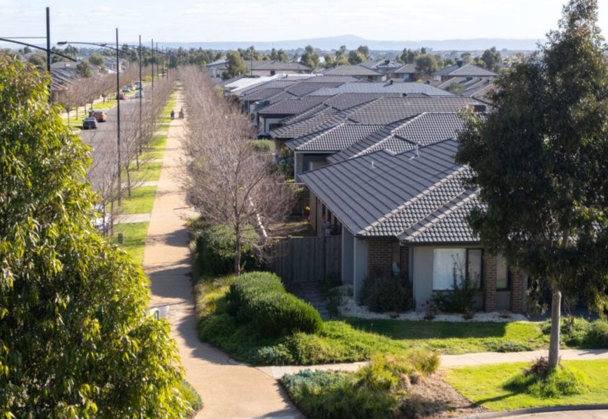
South-east Queensland is set to endure a return to intense heat this week, with forecasters warning of heatwave conditions before showers arrive toward the weekend. According to the Bureau of Meteorology, a ridge of high pressure stretching across much of the state is driving temperatures upward, particularly across the southern interior and south-east.
Heatwave Returns to South-East Queensland Ahead of Wet Weekend
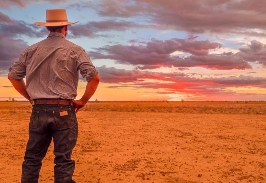
South-east Queensland is set to endure a return to intense heat this week, with forecasters warning of heatwave conditions before showers arrive toward the weekend.
According to the Bureau of Meteorology, a ridge of high pressure stretching across much of the state is driving temperatures upward, particularly across the southern interior and south-east. The bureau has flagged locally severe heatwave conditions from Tuesday, with Brisbane forecast to peak at around 35°C on Thursday.
Meteorologist Baden Gilbert said the state is heading into a gradual but noticeable warm-up after a brief spell of milder weather.
"Temperatures are steadily ticking up across the southern interior," he said. "As we move through the next couple of days, maximum temperatures will continue to creep higher toward the end of the week.
"The warmest days look to be Wednesday for the southern interior, and Thursday for the south-east and parts of central Queensland. It's a marginal heatwave, but it will still feel very hot through the middle of the week."
Brisbane's daytime temperatures are expected to climb into the mid-30s before easing from Friday into Saturday. Overnight conditions will offer little relief, with minimum temperatures forecast to stay above 23°C throughout the week.
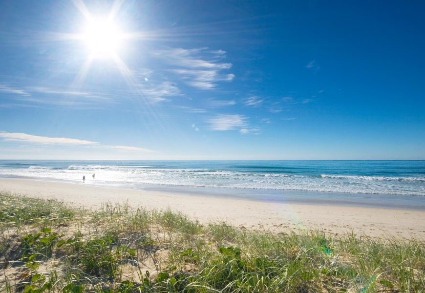
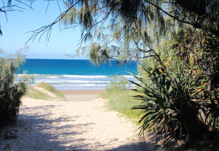
Some cooling is expected as showers move into the south-east late in the week. The Gold Coast could see up to 35 millimetres of rain on Friday, with scattered showers extending across the region into the weekend.
Hot west, wet north
While the south-east swelters, western Queensland is bracing for even more extreme heat. Longreach could reach 41°C on Wednesday, part of a prolonged run of hot days across the west.
In contrast, northern and inland Queensland are dealing with ongoing wet conditions. Moderate flood warnings remain in place for several rivers, including the Connors, Isaacs and Flinders rivers, as well as Eyre Creek. Minor flood warnings continue for the Tully, Daintree and Bulloo rivers.
Scattered showers and thunderstorms are forecast across the Channel Country and Far North, with Cairns expected to reach a top of 32°C.
Forecasters say the dominant ridge of high pressure will weaken from mid-week, allowing a more substantial trough to move in from South Australia. That system is expected to cross southern and central Queensland on Friday, bringing increased cloud, showers and some relief from the heat.
More Top Stories