Queensland is bracing for another bout of extreme weather, with thunderstorms and damaging winds of up to 80km/h forecast to sweep across large parts of the state, bringing relief from last week's record-breaking heatwave. Multiple weather warnings are in place, including severe wind warnings for south-east Queensland and flood warnings for parts of the north.
Storms and damaging winds to sweep Queensland as heatwave breaks
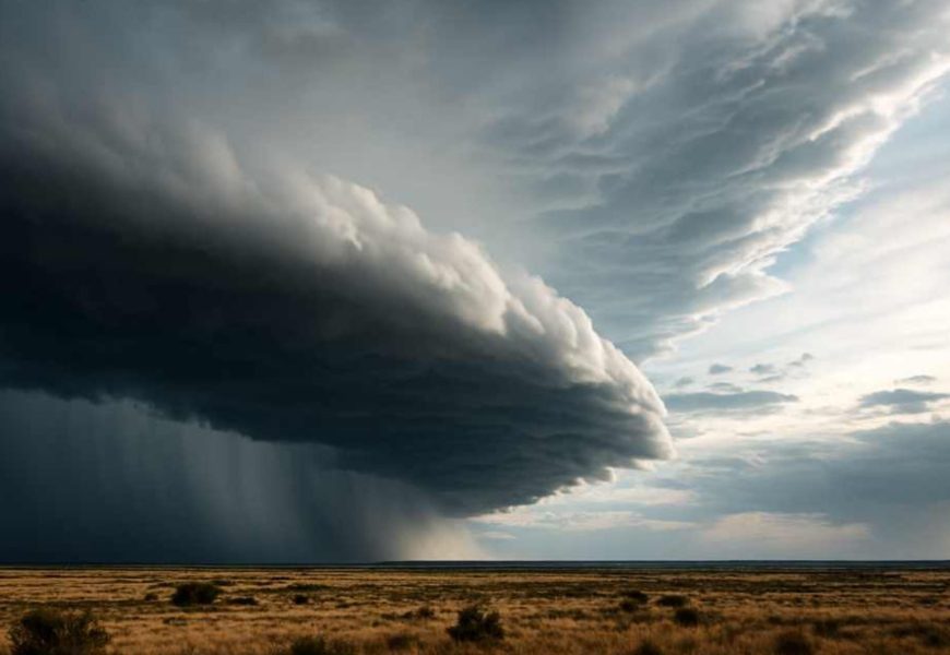
Queensland is bracing for another bout of extreme weather, with thunderstorms and damaging winds of up to 80km/h forecast to sweep across large parts of the state, bringing relief from last week's record-breaking heatwave.
According to the Bureau of Meteorology, multiple weather warnings are in place, including severe wind warnings for south-east Queensland and flood warnings for parts of the north, where inundation is expected to linger for weeks.
Senior meteorologist Felim Hanniffy said the state is undergoing a sharp shift in conditions, moving from hot and dry weather to cooler, stormier days.
"Last week was exceptional, with temperatures in some areas reaching the mid to high 40s," Mr Hanniffy said. "Those severe heatwave conditions are now easing, particularly across the Central West, Channel Country, and the Maranoa and Warrego."
While the most intense heat has subsided, low-intensity heatwave conditions are expected to persist inland across southern Queensland for several more days.
A vigorous south-easterly wind change is forecast to push up the coast from Monday morning, bringing gale-force winds and very rough conditions offshore.
"This will bring strong winds along the coast, with gusts widely reaching 50 to 70km/h and locally up to 80km/h, particularly along the south-east coast," Mr Hanniffy said.
Brisbane, the Gold Coast and the Sunshine Coast are all likely to be affected, with hazardous marine conditions forecast to disrupt boating and surfing. Inland areas of the Darling Downs, Granite Belt and Wide Bay Burnett also face the risk of severe thunderstorms from late Monday morning and into the afternoon.
The wind change is expected to move north through southern Queensland, replacing extreme heat with a more unstable pattern that could deliver several days of showers and storms across western parts of the state.
Temperatures in western Queensland are forecast to fall back to the mid-30s - around 14 degrees cooler than last week's peak.
Meanwhile, flooding across north Queensland is expected to persist despite heavy rainfall easing.
"The tropical low responsible for last week's heavy rain has shifted into the Northern Territory and is weakening," Mr Hanniffy said. "However, large volumes of water remain across the landscape, and flooding will continue for several weeks as that water moves through river systems toward coastal catchments."


