A tropical low off Queensland's north-east coast is increasingly likely to intensify into a tropical cyclone, with the Bureau of Meteorology warning of heavy rainfall, damaging winds and flooding across large parts of the state's north. The bureau says there is a 50 to 60 per cent chance the system, known as Tropical Low 12U, will develop into a category one cyclone from Saturday.
North Queensland on Alert as Tropical System Nears Cyclone Strength

A tropical low off Queensland's north-east coast is increasingly likely to intensify into a tropical cyclone, with the Bureau of Meteorology warning of heavy rainfall, damaging winds and flooding across large parts of the state's north.
The bureau says there is a 50 to 60 per cent chance the system, known as Tropical Low 12U, will develop into a category one cyclone from Saturday. If it strengthens, it is expected to be named Cyclone Koji.
Forecasters predict the slow-moving system will cross the coast between Cairns and Townsville late tomorrow or on Sunday, bringing locally intense rainfall and wind gusts exceeding 95 kilometres per hour along the coastal fringe.
Severe weather warnings are already in place for the North Tropical Coast and Tablelands, Herbert and Lower Burdekin, and the Central Coast and Whitsundays, stretching from Cooktown to Hamilton Island. Many of these regions are still saturated after recent heavy rainfall.
Bureau meteorologist Matthew Collopy said the greatest rainfall and flooding risk would depend on the system's exact track, with the southern side of the low expected to experience the most intense conditions.
"River catchments are already saturated, so dangerous and potentially life-threatening flash flooding and riverine flooding are a serious risk, particularly between Hope Vale and Ayr, including Cairns and Townsville," he said.
Flood warnings are in place for the Lower Herbert catchment and the Tully River, while a broad flood watch has been issued for coastal rivers from the Daintree to the Pioneer and across Cape York Peninsula.
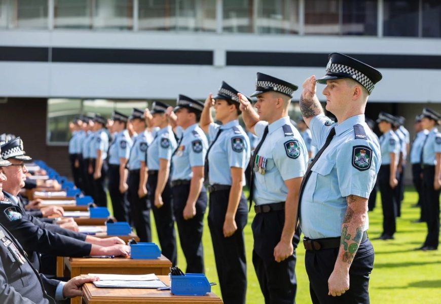
Queensland Premier David Crisafulli said the state was better prepared than ever, with additional police, State Emergency Service volunteers and Queensland Fire and Rescue personnel deployed to at-risk regions. Almost half a million sandbags have also been made available.
Local councils are urging residents to prepare for possible flooding. Cairns Regional Council disaster coordinator Rhys Newton warned surface flooding could occur quickly due to the region's geography, with rainfall totals potentially reaching 200 millimetres.
Catchments remain heavily saturated, with water levels rising in rivers including the Russell and Mulgrave, raising the risk of road closures and community isolation.
Water restrictions have also been introduced across parts of the Cairns region due to high turbidity in Freshwater Creek following heavy rainfall, with residents asked to limit water use to essential needs only.
While north-west Queensland remains on alert, the bureau says the system is now more likely to track south rather than west, reducing the immediate risk for already flood-affected inland communities. However, forecasters caution uncertainty remains until the system fully develops.
Major flood warnings remain in place for the Flinders River, with moderate flooding continuing along the Norman and Georgina Rivers.
More Top Stories