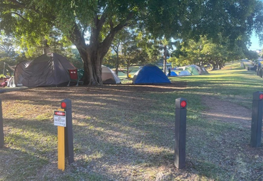
Heatwave conditions across south-east Queensland are set to peak today, with temperatures climbing well above average before a marked change brings showers, thunderstorms and cooler conditions into the weekend. Parts of the region are expected to experience temperatures up to nine degrees above the seasonal norm.
Heatwave peaks across south-east Queensland before storms bring relief

Heatwave conditions across south-east Queensland are set to peak today, with temperatures climbing well above average before a marked change brings showers, thunderstorms and cooler conditions into the weekend.
Parts of the region are expected to experience temperatures up to nine degrees above the seasonal norm, with Surfers Paradise forecast to reach 32°C, Boonah in the Scenic Rim 34°C, Mooloolaba 33°C, and Toowoomba peaking at 34°C.
Forecasters say the intense heat will ease as a trough moves through the state, drawing moisture into the south-east and triggering widespread showers and thunderstorms from late today and through the weekend.
Daniel Hayes from the Bureau of Meteorology said conditions were already warmer than average and would intensify before easing.
"It's been one or two degrees above average through much of the state, but that will jump again across the southern inland and south-east," he said.
"As the trough moves through, we'll see cooler air follow and more widespread shower activity."
Rainfall totals of 10 to 20 millimetres are expected initially, with three-day totals of 50 to 100 millimetres possible in parts of the south-east. Isolated locations could record more than 100 millimetres, increasing the risk of minor flooding.
Catchments under watch include the Mary River, Upper and Lower Brisbane Rivers, and the Logan and Albert Rivers, along with parts of the Wide Bay and Burnett. In western Queensland, minor flood warnings remain current for Cooper Creek at Windorah and the Diamantina River at Birdsville.
Storms inland, tropical low monitored offshore
Showers and storms are also forecast to develop across western Queensland, stretching from the NT border and Mount Isa through Longreach, before pushing east towards Charleville and Roma.
A severe thunderstorm warning has been issued for parts of far south-west Queensland.
Meteorologists are also monitoring a weak tropical low (23U) in the Coral Sea, east of Townsville. While the system remains weak, it is generating offshore thunderstorm activity and may move closer to the coast over the weekend, potentially bringing heavier rain between Townsville and Mackay.
What it means for communities
Authorities are urging residents to take precautions during today's peak heat - stay hydrated, limit outdoor activity, and check on vulnerable neighbours. As storms arrive, conditions may change quickly, with heavy downpours, gusty winds and reduced visibility possible.
Drivers are reminded to slow down in wet conditions and never drive through floodwater, while residents are encouraged to stay updated with the latest forecasts and warnings as the pattern shifts.
More Top Stories