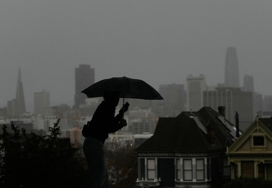
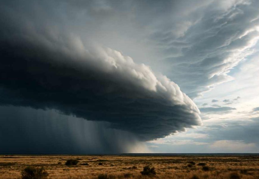
A burst of rain and storm activity is expected to bring some relief from the heat across parts of Queensland's south-east as state school holidays get underway. The Bureau of Meteorology says temperatures are set to dip early this week, dropping by as much as six degrees Celsius in some areas, following weeks of above-average heat and recent severe storms that included giant hail.
Heat to ease as rain and storms forecast for south-east Queensland
A burst of rain and storm activity is expected to bring some relief from the heat across parts of Queensland's south-east as state school holidays get underway.
The Bureau of Meteorology says temperatures are set to dip early this week, dropping by as much as six degrees Celsius in some areas, following weeks of above-average heat and recent severe storms that included giant hail.
While conditions are expected to cool in the short term, the bureau notes temperatures between Christmas and New Year's Eve are still likely to be slightly higher than average.
Cloudy conditions and the chance of isolated showers are forecast for Monday across the south-east, although temperatures will remain warm. Brisbane is expected to reach 34C, with highs of 31C on the Gold Coast and 32C in Maroochydore. Gladstone is forecast to hit 32C, while hotter conditions persist inland, with Longreach and Mount Isa both expected to reach 38C. Townsville, Mackay and Cairns are all forecast to top out at 33C.
Forecasters say rainfall on Monday is likely to be limited, but conditions are expected to change on Tuesday. Moderate falls of 20 to 25 millimetres are possible on the Sunshine Coast, accompanied by increased cloud cover and cooler temperatures.
Maximums in the south-east could fall by five to six degrees on Tuesday, dropping to around 28C, providing a welcome reprieve from the recent heat.
Showers are expected to become less likely from Wednesday, with weather conditions across the south-east forecast to gradually clear.
More Top Stories